
An independent reading companion
The Hunger Games.
A world to explore.
Follow the places, years, and journeys of Panem on an illustrated interactive map. Keep your book close, choose how much to reveal, and wander a little further.
Starts with premise-level detail. More story detail is your choice in Reading limits.
The atlas beside your book
Follow a place.
Find its story.
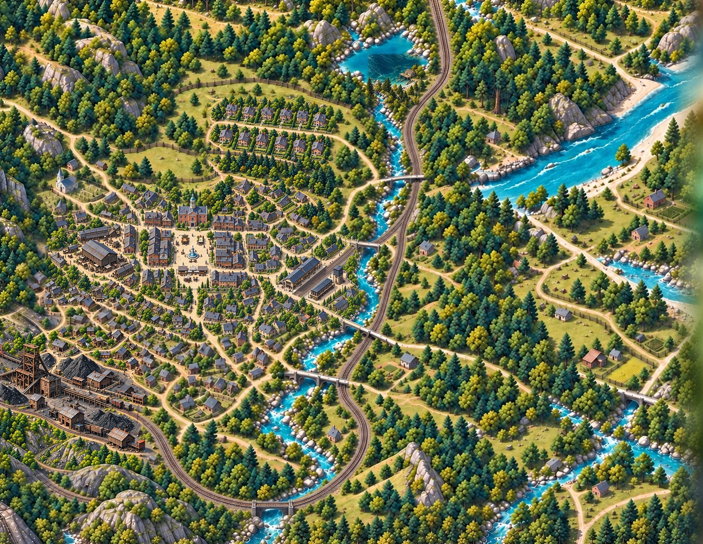
Zoom from the wider continent into districts, cities, and arenas. Move the year slider to explore how the illustrated world changes. Tap a place or event for its explanation and available reading references.
Paintings gathers the artwork in one place. Each image can open full screen. Where a chapter is verified, its reference points you back to your own book.
Use Reading limits to change what is visible. Chapter and story limits filter the map’s entries and associated illustrations. A reading limit is a navigation aid, not a guarantee that every background detail is spoiler-free.
Five books, one Panem
Choose your starting point.
The books below are listed in publication order. The map’s timeline follows the years within the story.
- The Hunger GamesYear 74 · Katniss’s first Games
- Catching FireYears 74–75 · the third Quarter Quell
- MockingjayYear 75 · rebellion
- The Ballad of Songbirds and SnakesYear 10 · the Capitol’s early Games
- Sunrise on the ReapingYear 50 · Haymitch’s story
Read the map thoughtfully
What is known.
What is imagined.
The novels give us relationships between places without a complete national map. MapWoven uses those clues to build an explorable interpretation. A named location and its real-world coordinates are different claims.
Where are the Capitol and the districts?
Our reconstruction uses North America as a frame of reference, with settlements surrounded by wilderness. District borders, the Capitol’s street plan, and the size of each city are illustrative. They should not be treated as canon simply because they appear on a map.
Why are the arenas in these places?
The early stadium belongs to the Capitol setting. Our placements for the later engineered arenas are interpretations. The 74th arena is positioned in western high country and the 75th offshore in the Gulf; neither real-world coordinate is established by the books.
The Gulf placement is a hypothesis informed by the arena’s salt water and the extraction journey. It is not the only possible reconstruction. Visit each special-site entry for its evidence and confidence.
Can I read the novels here?
MapWoven provides commentary, illustrations, and references, not copies of the Hunger Games novels. Use your own edition, borrow from a library, or find the books with their publisher ↗.
Source notes: Scholastic’s series site ↗ and the chapter references attached to map entries. About our method and illustrations.
Sourced place by place
Where the books spend their time.
These are the places the atlas can say most about. Each entry names the book and chapter it was checked against.
- The Capitol53 entries with the book and chapter behind each, its trade and where that claim comes from, on an independent map of Panem.
- District 1236 entries with the book and chapter behind each, its trade and where that claim comes from, on an independent map of Panem.
- District 1315 entries with the book and chapter behind each, its trade and where that claim comes from, on an independent map of Panem.
Made for the stories we’ll share
A map now. More adventures together, later.
MapWoven began with a parent’s wish to enjoy books with a young son as he grows. Panem is one beginning; there is room for many more worlds.
Read why I’m building MapWoven