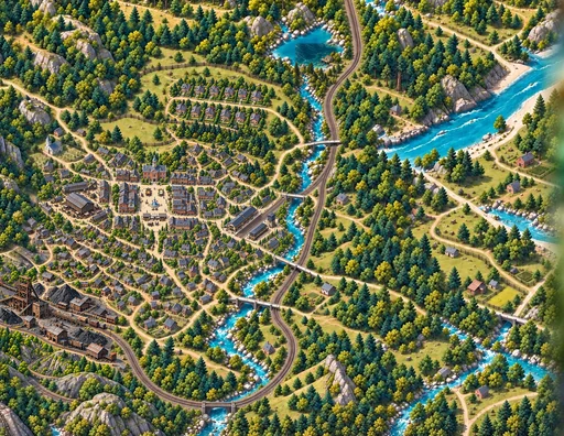
Illustrated map
The Hunger Games
All five Hunger Games novels on one map of Panem — the districts, the Capitol and the arenas, with a timeline you can move year by year.
5 books145 sourced entriesYear 1 to 75 on the timeline
 MapWoven
An independent illustrated literary atlas
Illustrated maps of Panem, the fall of Rome, Treasure Island, Oz and the Pyro star system — with the book and chapter behind every entry, and the plot kept behind a door you choose to open.
Independent and unofficial. Nothing here is a publisher’s map; every boundary drawn is an interpretation, and the pages say so.
The maps
Every map opens with the story’s premise only, and its sources one tap away. Every boundary drawn is an interpretation; each map says what it knows and what it imagines.
Illustrated map
All five Hunger Games novels on one map of Panem — the districts, the Capitol and the arenas, with a timeline you can move year by year.
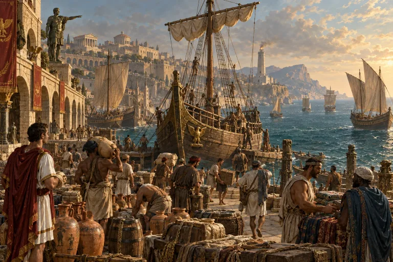
Route map
The voyage from England to the island as the novel tells it: a simple route map, not a survey.
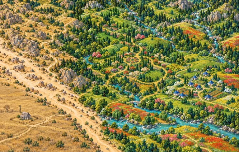
Route map
Dorothy’s road through Oz, drawn from the 1900 novel and nothing from the films.
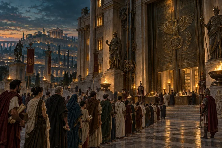
Geographic map
Gibbon’s account of the western empire’s last century, battle by battle, on a map of the Mediterranean — with modern historians to compare.
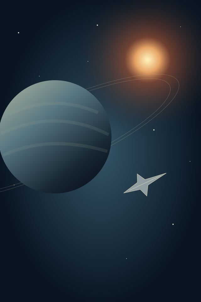
Star map
The Pyro star system from Star Citizen’s official lore — its jump connections as a diagram, not a route planner.
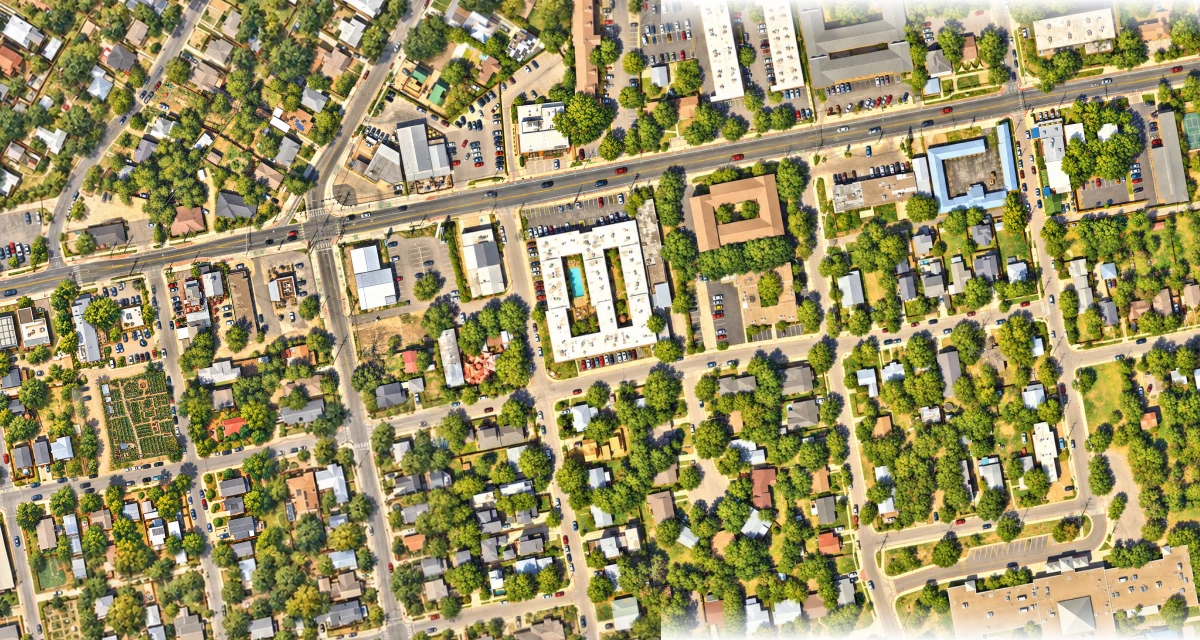
A real city, one neighborhood at a time
Follow Manor Road from Este and its living garden to Mi Madre’s, School House Pub, Dai Due and Bird Bird Biscuit. Come closer for restaurant frontages and illustrated dining rooms, then explore Suerte, Canje and Lazarus on East Sixth.
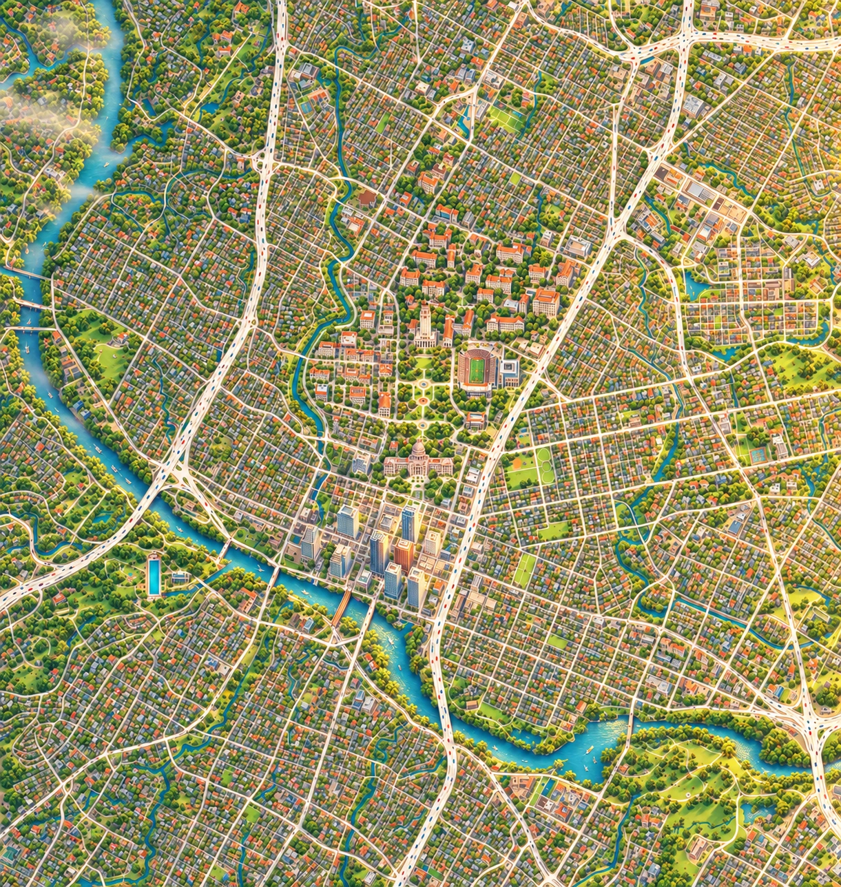
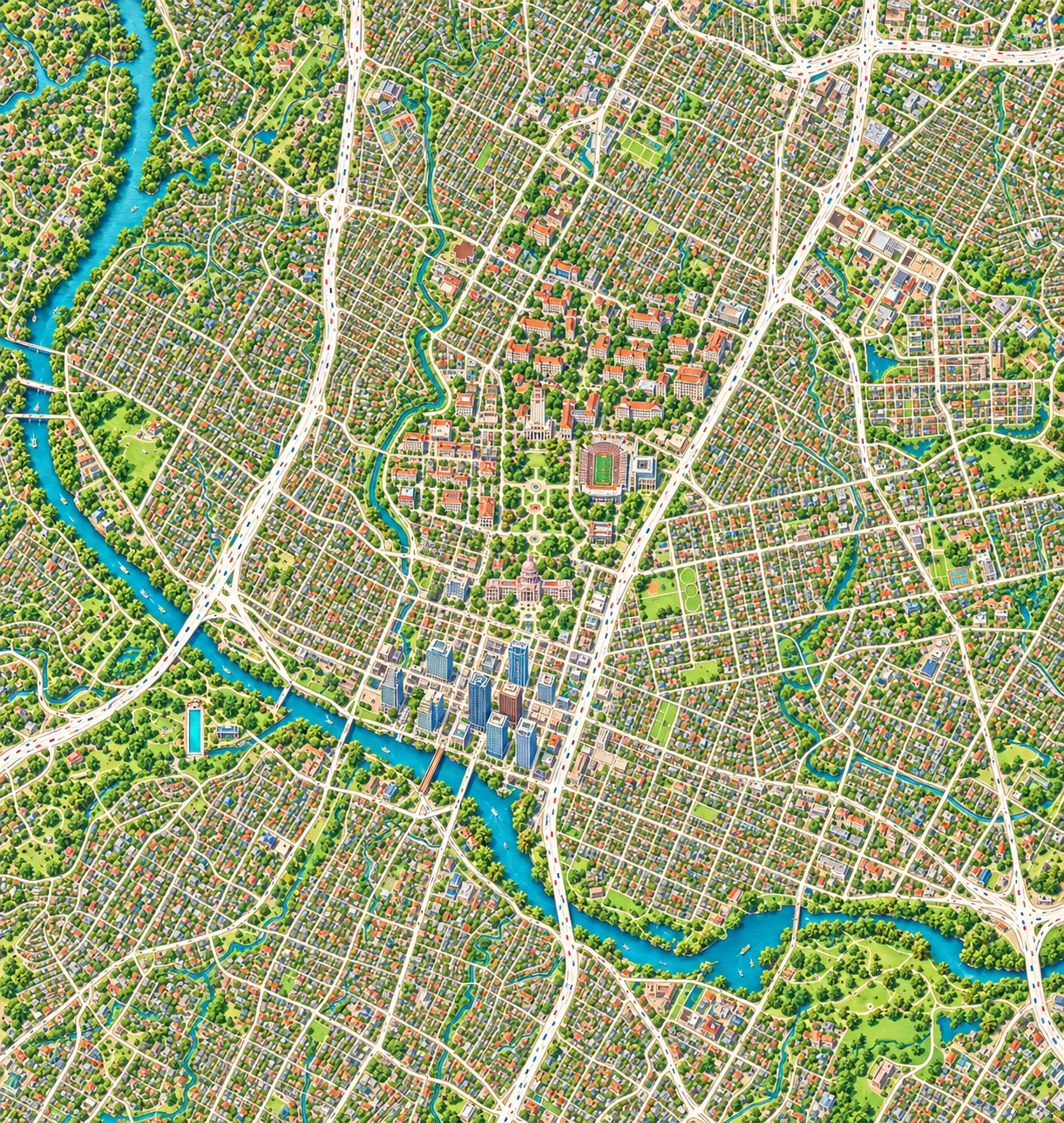
Our 25,000-block plan gives quiet areas a shared landscape and special places room for finer detail. The map is growing, painting by painting.
A visitor’s Austin, from morning to night
Find your next little adventure.
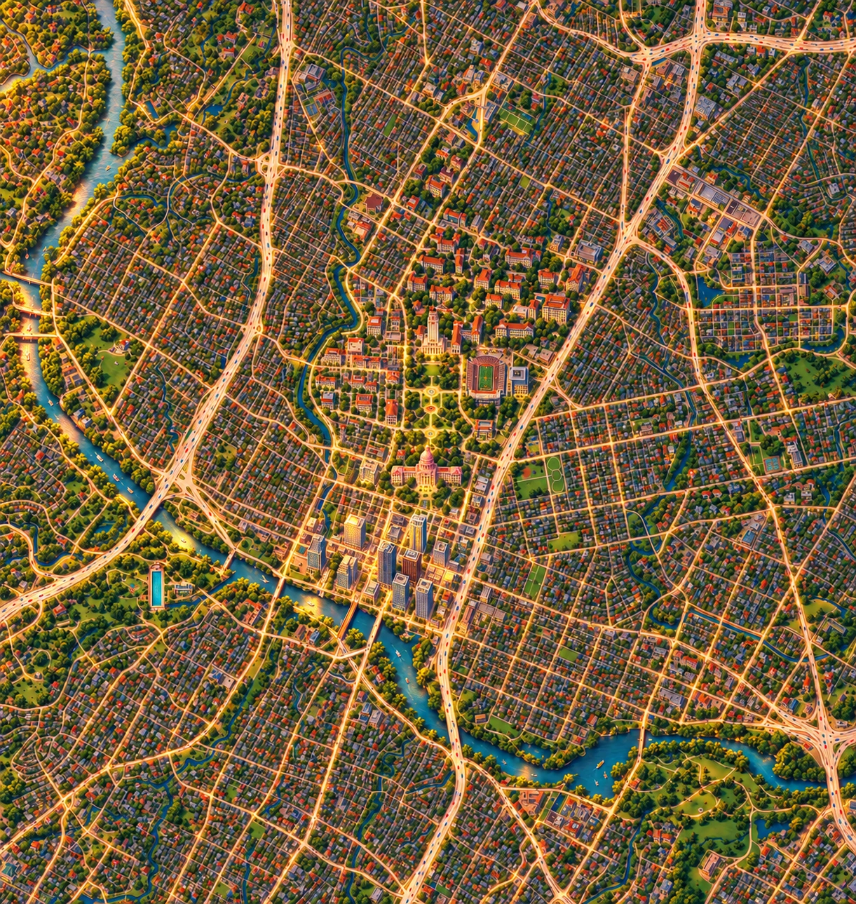
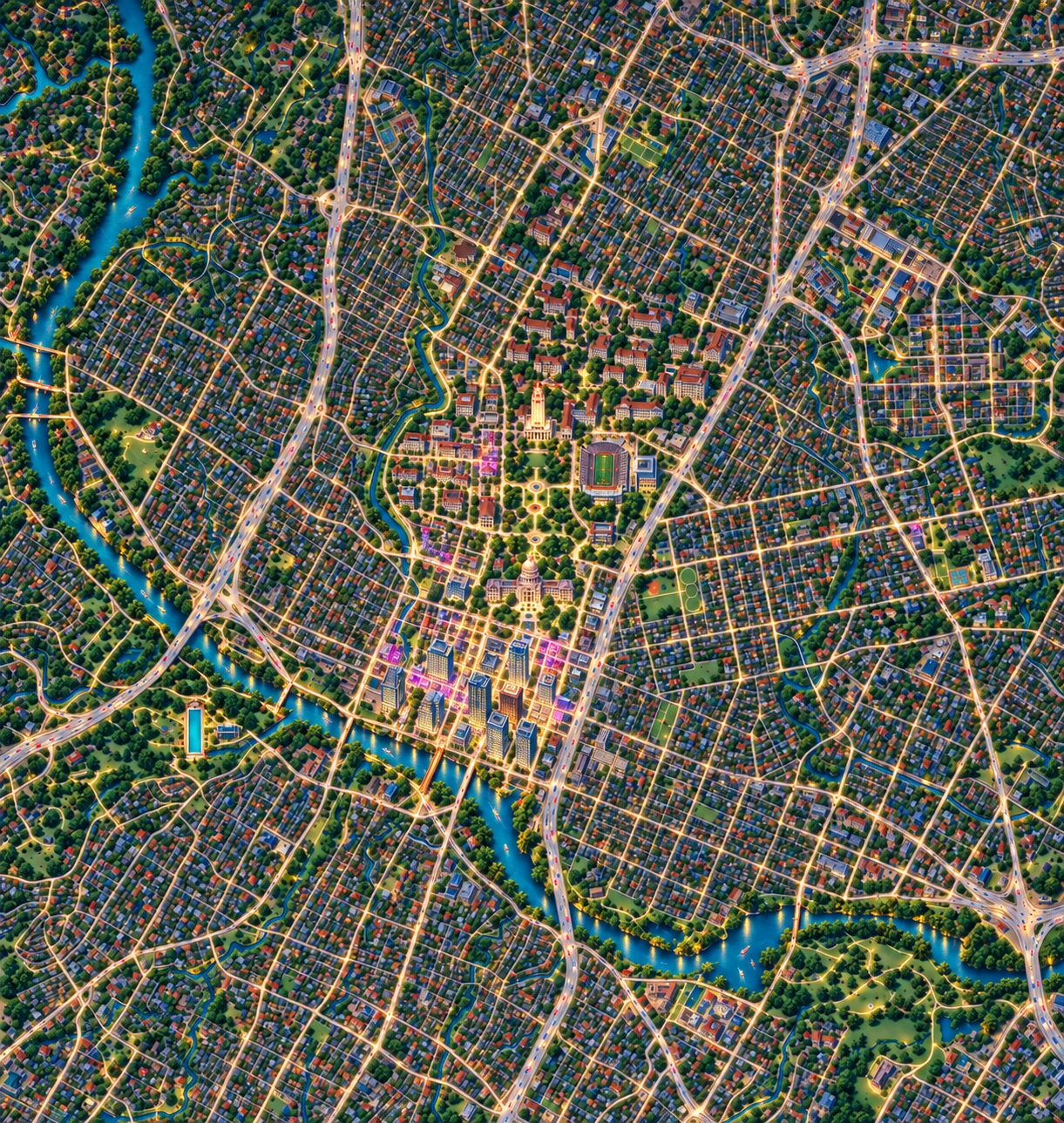
Explore restaurants, green trails, museums and live music on a beautifully painted city map. Four times of day share Austin’s geography, with MapWoven’s restaurant illustrations close at hand.
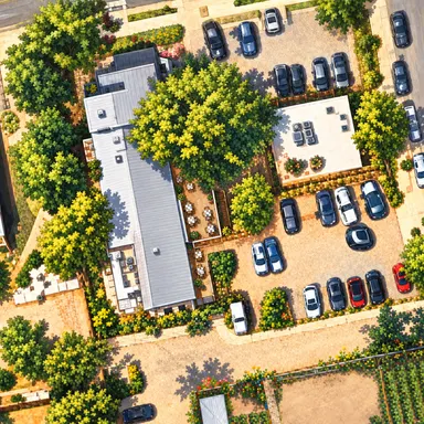
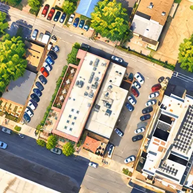
A new MapWoven project · Austin preview
Your city, drawn a little closer.
We’re bringing MapWoven’s building illustrations to Google Maps. Start with Este and Suerte: explore their original paintings, come closer, and peek beneath the roofs.
Illustration preview available now. The Google street map is coming next; directions open in Google Maps.
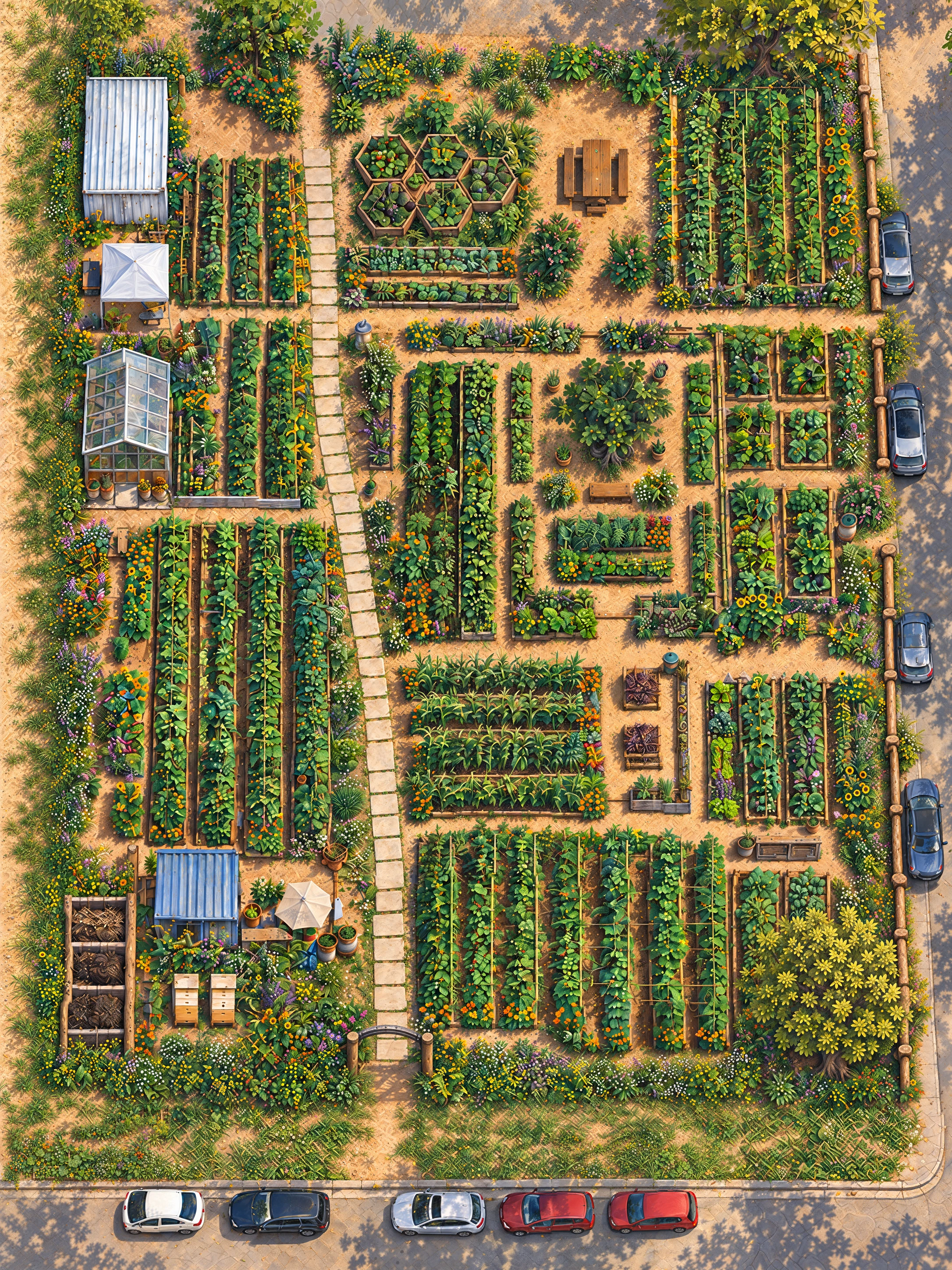
A working garden, bed by bed
0.41 of an acre in East Austin. 81 beds in 19 groups with 56 crops, garden paths, trees and the people who tend them. Seasonal harvests find their way to Este and Suerte.
A star-system navigator from official lore
Stanton, Pyro and Nyx, illustrated.
Explore 71 planets, moons, stations and cities across 3 systems, see what each stop offers, and plan a journey with the official source one tap away.
An independent fan map, not affiliated with Cloud Imperium Games. Spacing is schematic; use the in-game map for coordinates, distances and live conditions.
An anime atlas, growing place by place
From Tokyo’s riverbanks to the summer coast.
Explore the streets, restaurants, classrooms and journeys behind the story. Compare painted neighbourhoods with real geography, then peek inside 8 illustrated rooms, inspect their small details and follow the story through books and inspected chapter anchors.
An independent fan atlas. Source links stay close; story details begin hidden. The villa, school and other unlocated story spaces have their own scene cards.
How to read these maps
A place’s trade is marked as named in the novels, taken from tie-in material, or stated without a locator — and the page tells you which. A chapter reference points you back to your own copy.
No novel surveys a district border. The map draws a dotted line and the text calls it a reconstruction rather than firming it up quietly.
Public maps open at premise level. Story detail sits behind a control you set for each book, and the guides fold spoilers behind a summary that says what it holds.
Independent and unofficial. Not affiliated with any author, publisher, studio or game company named here; the books and their worlds belong to their rights holders. About our method and illustrations.
Reading guides
Crawlable, sourced guides for the worlds the atlas can say most about.
Next on the shelf
Books the atlas is reading toward. No map yet — the author’s or publisher’s page is one tap away.
Made for the stories we’ll share
MapWoven began in 2026 with a parent’s wish to enjoy books with a young son as he grows — one world at a time, with the sources kept close and the plot kept for the reading.