Skip to content
MapWoven

An independent illustrated literary atlas

Maps for the stories
we read together.

Illustrated maps of Panem, the fall of Rome, Treasure Island, Oz and the Pyro star system — with the book and chapter behind every entry, and the plot kept behind a door you choose to open.

Independent and unofficial. Nothing here is a publisher’s map; every boundary drawn is an interpretation, and the pages say so.

A little curiosity. A whole world.
Tap Rumbo for a little mischief
5 worlds to explore162 entries — places and moments, each with its sourceIndependent & unofficial

The maps

Choose a world.

Every map opens with the story’s premise only, and its sources one tap away. Every boundary drawn is an interpretation; each map says what it knows and what it imagines.

  1. District 12 with painted streets, homes, countryside and its connected railway

    Illustrated map

    The Hunger Games

    All five Hunger Games novels on one map of Panem — the districts, the Capitol and the arenas, with a timeline you can move year by year.

    5 books145 sourced entriesYear 1 to 75 on the timeline

  2. A busy harbour with tall ships and cargo, painted for the young readers’ shelf

    Route map

    Treasure Island

    The voyage from England to the island as the novel tells it: a simple route map, not a survey.
    Robert Louis Stevenson4 sourced entriesFictional voyage
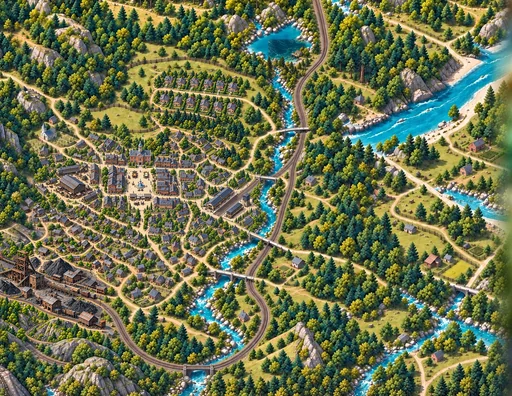
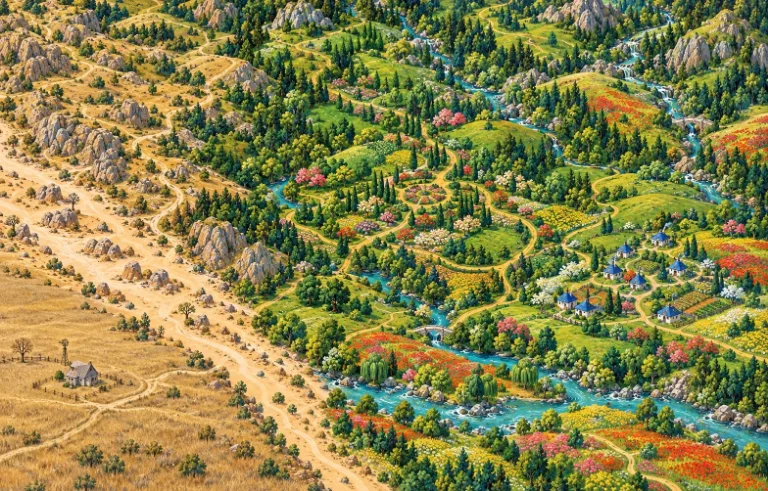
  3. An aerial painted map of patchwork fields, rivers and a winding road

    Route map

    The Wonderful Wizard of Oz

    Dorothy’s road through Oz, drawn from the 1900 novel and nothing from the films.
    L. Frank Baum4 sourced entriesFictional journey
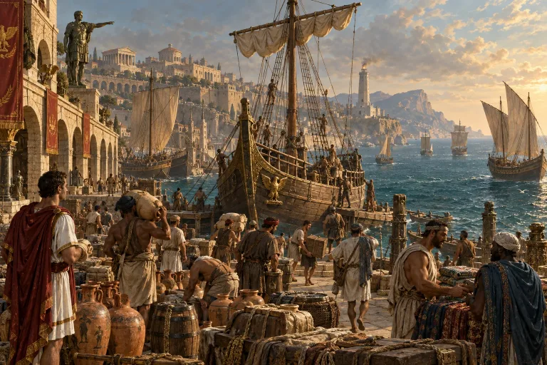
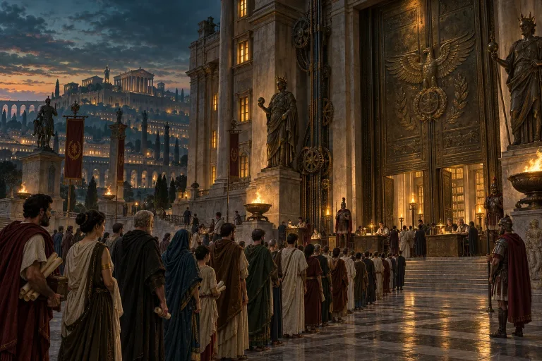
  4. A crowd gathered before a monumental Roman building, painted for the atlas

    Geographic map

    Rome & its aftermath

    Gibbon’s account of the western empire’s last century, battle by battle, on a map of the Mediterranean — with modern historians to compare.
    1 book5 sourced entries378–476 CE
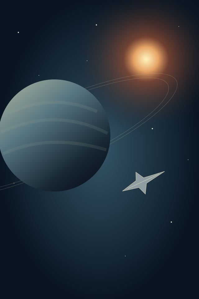
  5. A ringed planet and a small ship against deep space

    Star map

    Pyro: discovery and contested space

    The Pyro star system from Star Citizen’s official lore — its jump connections as a diagram, not a route planner.
    Cloud Imperium Games4 sourced entries2493–2951 SEY
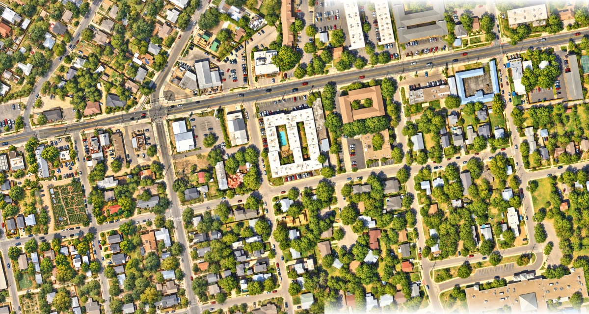
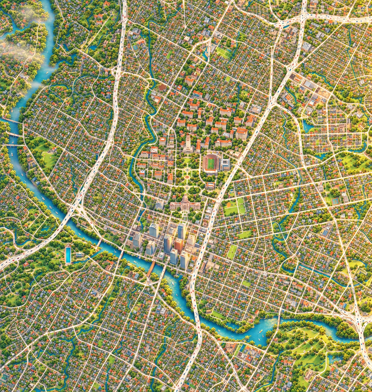
The painted Manor Road neighborhood around Este, Mi Madre’s and School House Pub, continuing east toward Dai Due and Bird Bird Biscuit

A real city, one neighborhood at a time

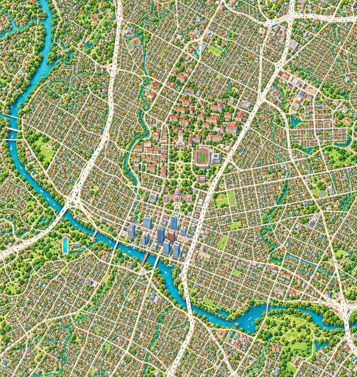
Austin, coming to life.

Follow Manor Road from Este and its living garden to Mi Madre’s, School House Pub, Dai Due and Bird Bird Biscuit. Come closer for restaurant frontages and illustrated dining rooms, then explore Suerte, Canje and Lazarus on East Sixth.

Our 25,000-block plan gives quiet areas a shared landscape and special places room for finer detail. The map is growing, painting by painting.

25,000 planned blocks10 nearby places to explore24 detail paintingsOpenStreetMap · City of Austin data · source-informed artwork
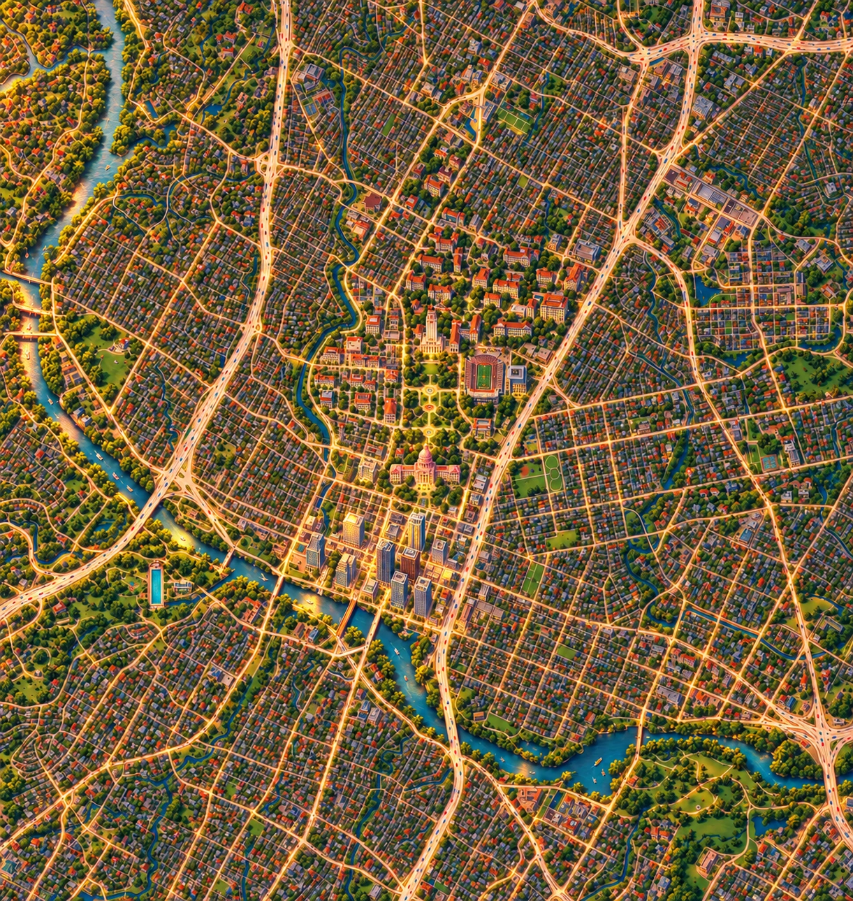
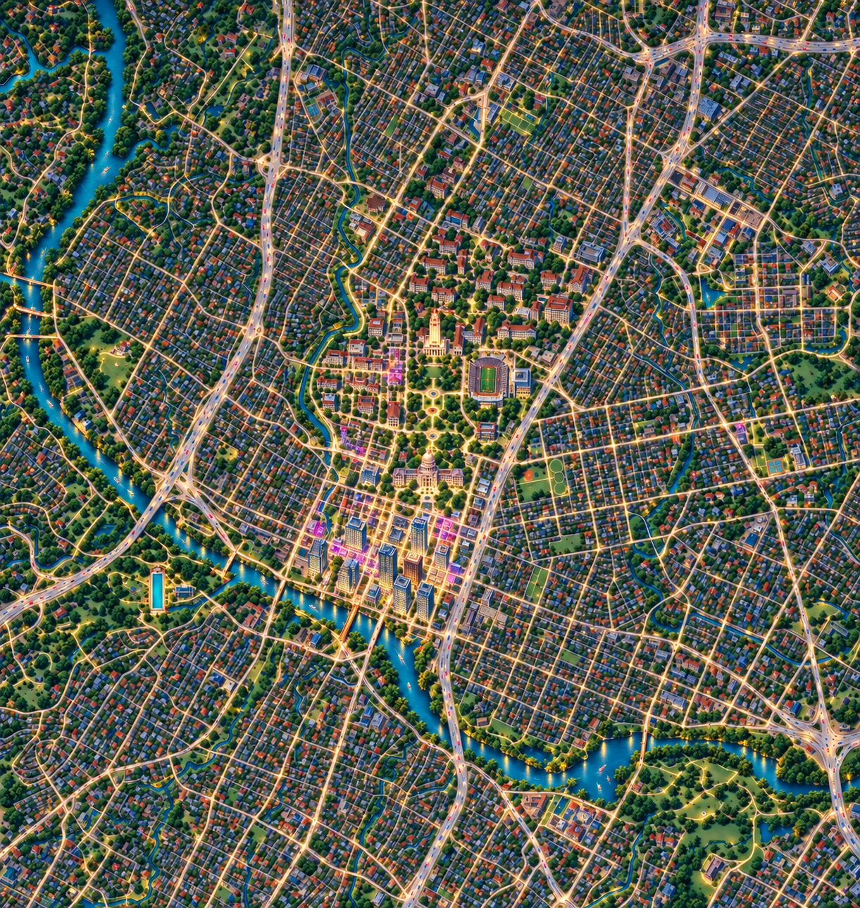
Austin in warm morning lightMorning ↗ Austin under a bright noon skyNoon ↗ Austin and Lady Bird Lake in golden evening lightEvening ↗ Austin glowing after darkNight ↗

A visitor’s Austin, from morning to night

Austin, all day.

Find your next little adventure.

Explore restaurants, green trails, museums and live music on a beautifully painted city map. Four times of day share Austin’s geography, with MapWoven’s restaurant illustrations close at hand.
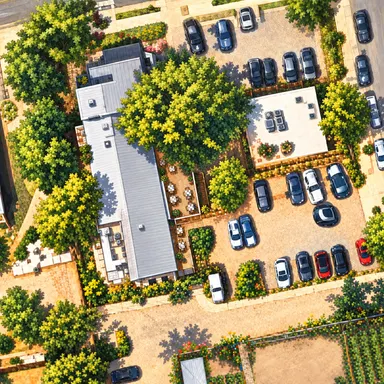
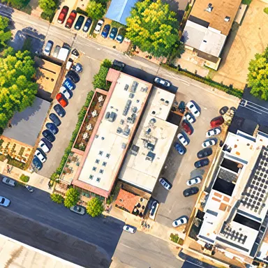
43 featured stops4 painted city viewsDirections & suggested outings
Este, illustrated from above by MapWoven
Este
Suerte, illustrated from above by MapWoven
Suerte

A new MapWoven project · Austin preview

Rumbo Maps

Your city, drawn a little closer.

We’re bringing MapWoven’s building illustrations to Google Maps. Start with Este and Suerte: explore their original paintings, come closer, and peek beneath the roofs.

2 illustrated buildingsZoom to look insideGrowing with MapWoven

Illustration preview available now. The Google street map is coming next; directions open in Google Maps.
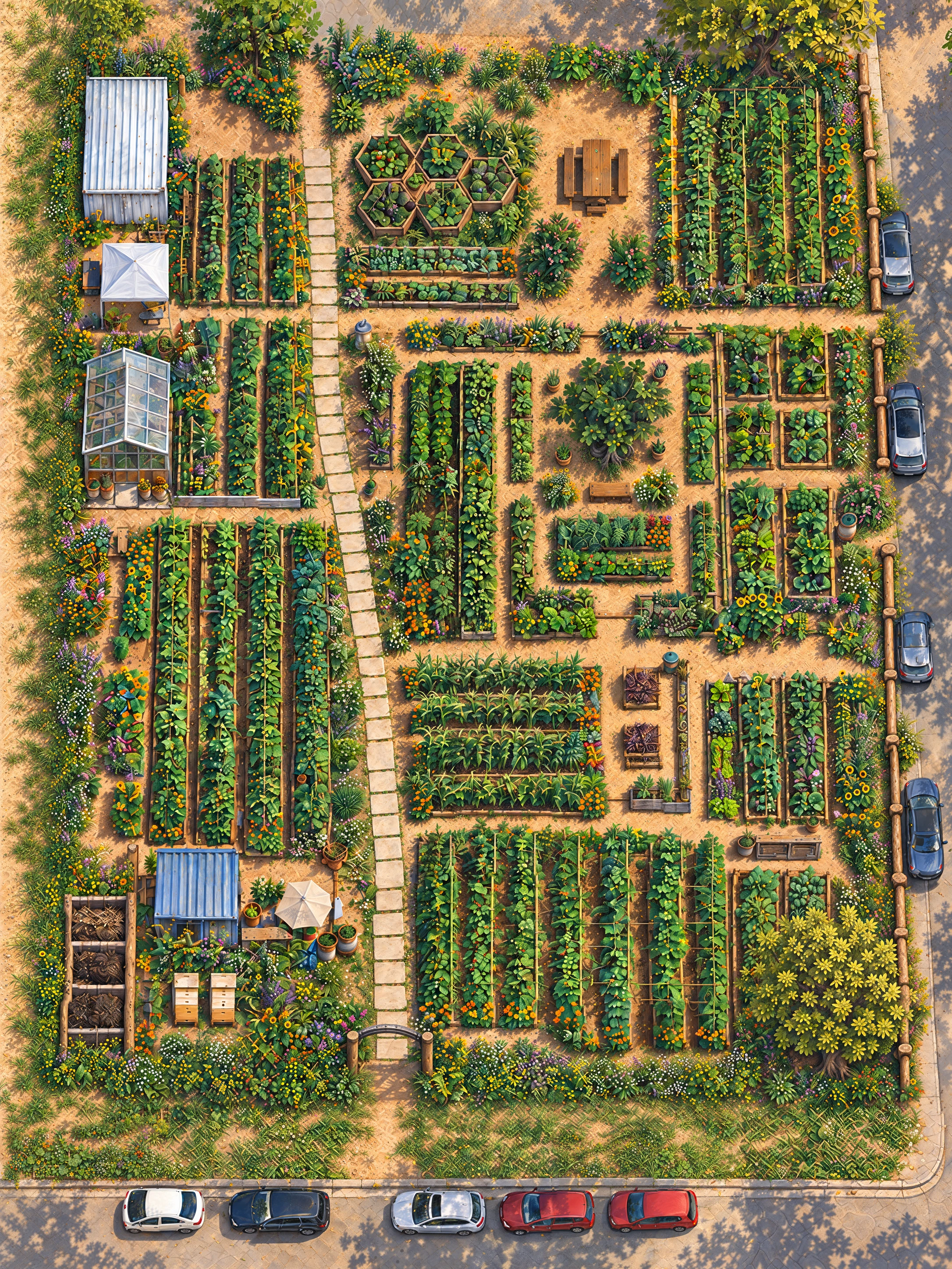
The illustrated Este Garden from above, with planted beds, stepping-stone paths, a greenhouse, trees, west-side beehives and the surrounding streets

A working garden, bed by bed

Este Garden.

0.41 of an acre in East Austin. 81 beds in 19 groups with 56 crops, garden paths, trees and the people who tend them. Seasonal harvests find their way to Este and Suerte.

81 beds56 crops9 on the harvest listEast 22nd at Coleto

A star-system navigator from official lore

Star Citizen

Stanton, Pyro and Nyx, illustrated.

Explore 71 planets, moons, stations and cities across 3 systems, see what each stop offers, and plan a journey with the official source one tap away.

3 star systems71 places30 official sources

An independent fan map, not affiliated with Cloud Imperium Games. Spacing is schematic; use the in-game map for coordinates, distances and live conditions.

An anime atlas, growing place by place

Toradora

From Tokyo’s riverbanks to the summer coast.

Explore the streets, restaurants, classrooms and journeys behind the story. Compare painted neighbourhoods with real geography, then peek inside 8 illustrated rooms, inspect their small details and follow the story through books and inspected chapter anchors.

3 geographic regions110 places & scenes8 interiors · 95 details

An independent fan atlas. Source links stay close; story details begin hidden. The villa, school and other unlocated story spaces have their own scene cards.

How to read these maps

Known, imagined, and labelled which.

Every entry says where it came from

A place’s trade is marked as named in the novels, taken from tie-in material, or stated without a locator — and the page tells you which. A chapter reference points you back to your own copy.

Boundaries are imagined, and say so

No novel surveys a district border. The map draws a dotted line and the text calls it a reconstruction rather than firming it up quietly.

Premise first, plot by choice

Public maps open at premise level. Story detail sits behind a control you set for each book, and the guides fold spoilers behind a summary that says what it holds.

Independent and unofficial. Not affiliated with any author, publisher, studio or game company named here; the books and their worlds belong to their rights holders. About our method and illustrations.

Reading guides

Read beside the map.

Crawlable, sourced guides for the worlds the atlas can say most about.

  1. Interactive Hunger Games Map of PanemExplore an unofficial illustrated Panem map, districts, arenas, and timelines across five Hunger Games books.
  2. Sunrise on the Reaping Map & Year 50 GuideExplore Haymitch’s Panem in Year 50 with an independent Sunrise on the Reaping guide, an interactive map, and clearly labelled book sources.
  3. The CapitolThe Capitol in the Hunger Games: 53 entries with the book and chapter behind each, its trade and where that claim comes from, on an independent map of Panem.
  4. District 12District 12 in the Hunger Games: 36 entries with the book and chapter behind each, its trade and where that claim comes from, on an independent map of Panem.
  5. District 13District 13 in the Hunger Games: 15 entries with the book and chapter behind each, its trade and where that claim comes from, on an independent map of Panem.

Next on the shelf

Coming next.

Books the atlas is reading toward. No map yet — the author’s or publisher’s page is one tap away.

  1. The Lightning Thief ↗Rick Riordan · Percy Jackson & the Olympians · Next atlas · reading links, no map yet
  2. Gregor the Overlander ↗Suzanne Collins · The Underland Chronicles · Next atlas · reading links, no map yet
  3. The Search for WondLa ↗Tony DiTerlizzi · The WondLa Trilogy · Next atlas · reading links, no map yet
  4. The wider Star Citizen universe ↗Cloud Imperium Games · Next atlas · reading links, no map yet

Made for the stories we’ll share

Built by a parent, for reading together.

MapWoven began in 2026 with a parent’s wish to enjoy books with a young son as he grows — one world at a time, with the sources kept close and the plot kept for the reading.
About MapWoven
MapWoven’s little fox holding a map

A note from the creator

For the stories we’ll share.

I built MapWoven because I want to enjoy books with my family for years to come. My son is three as I begin this project, and I’m making it mostly for him.

My hope is that, as he grows, we can read together, follow the journeys on a map, and spend a little longer in the worlds we discover. I’m starting with the books I love and leaving room for the stories we’ll find together.

MapWoven began in 2026.

Explore at your own pace

Choose a world, move through its timeline, and tap a place or event. Open an illustration to see it full screen. Chapter references help you find your place in your own copy of the book.

Zoom into Panem’s scenery to discover its small illustrated Easter eggs. Glowing circles take you closer to events in the selected year. The discovery journal keeps the artwork and chapter references together.

The public map starts with premise-level detail. In Map options, you can reveal more or set a reading limit for each book. The Hunger Games contains violence, death, and other mature themes; choose stories and settings that suit your family.

A reading companion, with room for interpretation

MapWoven combines references, our own explanations, and original visual interpretations, including AI-assisted illustrations. It is not an official map. The books establish some places and relationships; many coordinates, city plans, borders, and landscapes are imagined.

A chapter reference supports the accompanying story detail, not every building in its illustration. Inferred locations stay labelled as interpretations. The Year 50 guide distinguishes publisher information from the retrospective account in Catching Fire.

Estimated earlier years and real-world calendar labels are editorial aids. They are not dates established by the novels.

Independent and unofficial

MapWoven is an independent fan-made project. It is not affiliated with, sponsored by, or endorsed by Suzanne Collins, Scholastic, Lionsgate, or the other creators and publishers whose works are discussed here.

The referenced books, characters, and related trademarks belong to their respective rights holders. Attribution is not a licence to reuse their work. This site offers maps, commentary, illustrations, and references; it does not provide the Hunger Games novels.

Please support the authors by borrowing or buying their books through legitimate sources. Visit the publisher’s Hunger Games site (opens a new tab).

Your visit

No MapWoven account is required. The welcome animation and graphics preferences use storage on your device. There is no advertising here, and nothing on this site is shared with an advertising network or a third-party analytics company.

MapWoven does count visits, using a counter of its own. It sets no cookies, loads nothing from another company, and never stores your IP address. A visit is identified by a one-way hash of three things — a secret generated fresh each day, your address, and your browser — and that daily secret is destroyed the following day, so the identifier cannot be recreated afterwards or matched to yesterday’s. What it is for: which maps people open, which searches find nothing, and how quickly pages load on real devices rather than on a developer’s. To turn it off permanently for this browser, open mapwoven.com/?mw-count=off.

Hosting providers and sites you open through external links may process their own connection data.

Get in touch

Questions, corrections, or a book you think belongs here: Alfredo@atxnexus.com.